01
Visual inspections
A closer look. A clearer record.
High-resolution imagery of roofs, exteriors and hard-to-reach assets. Document visible conditions and give your team a useful starting point for follow-up.
 (207) 904-9785
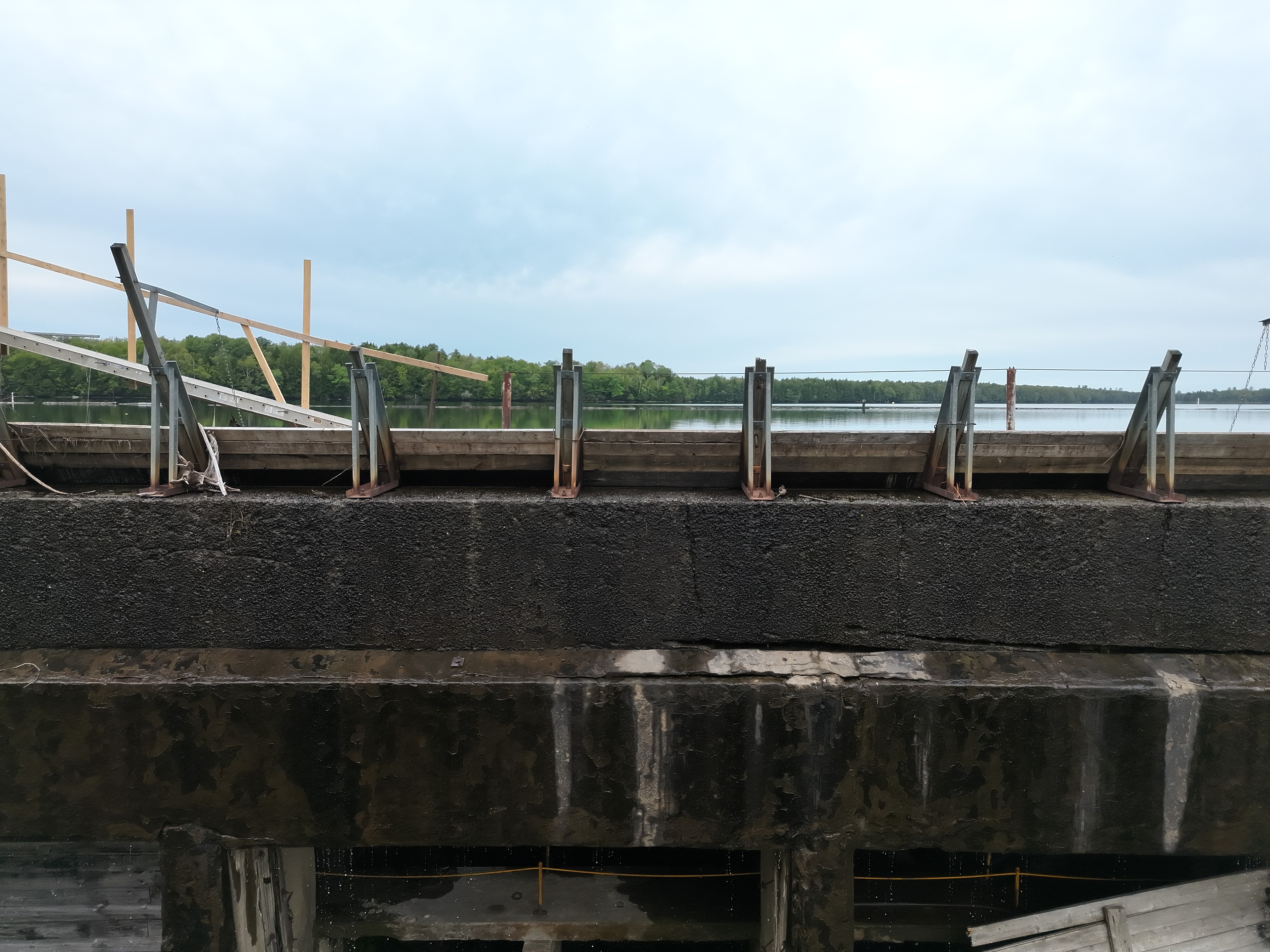
Detailed aerial imagery. Meaningful thermal data. Real perspective on the assets that matter.
From a building’s roof to a dam’s structural face, the right view can change your next step. Precision Aerial Inspection helps property owners, contractors and facility teams document conditions and identify where a closer investigation is needed.
Useful information for residential, commercial and industrial projects across Maine.
High-resolution imagery of roofs, exteriors and hard-to-reach assets. Document visible conditions and give your team a useful starting point for follow-up.
Radiometric thermal documentation for roofs, building envelopes and industrial assets, with collection planned around site conditions and the question you need answered.
Visual documentation for mills, dams and facilities. Capture structural faces, openings and access-limited areas while coordinating with the people who know the site.
Orthomosaic imagery, photogrammetry and 3D visualization for planning, documentation and measurement support. Model dimensions require field verification.
Site overviews, roof condition imagery and repeatable progress views for owners, roofing professionals and construction teams.
Organized digital deliverables with annotated photographs, observations and locations for follow-up, matched to your agreed project scope.
Dam & infrastructure documentation
Real imagery from industrial documentation and photogrammetry fieldwork.
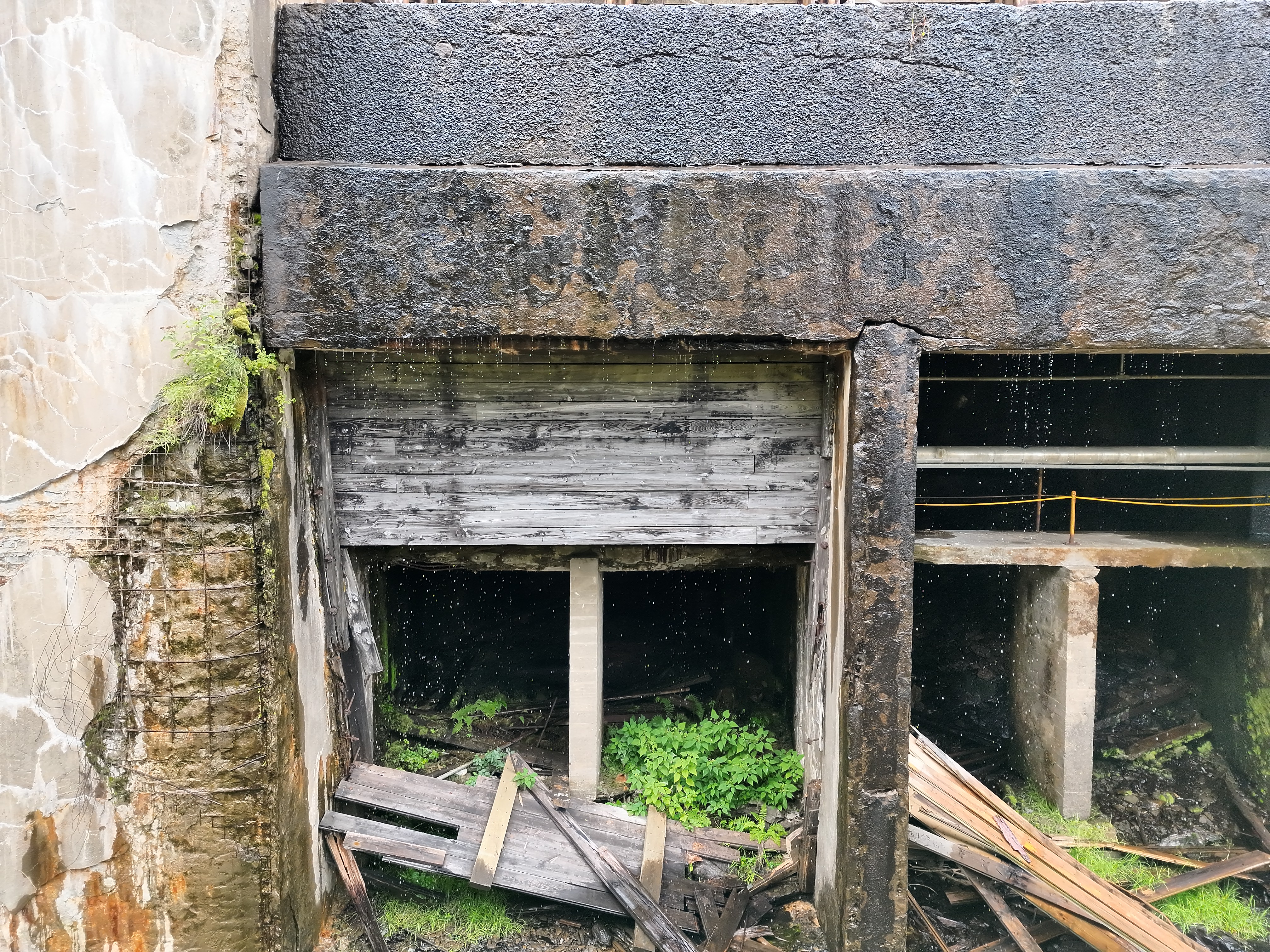
Aerial documentation brings difficult perspectives into a reviewable record. These photographs show the actual site, preserving visual context for the people planning the next inspection, maintenance task or repair.
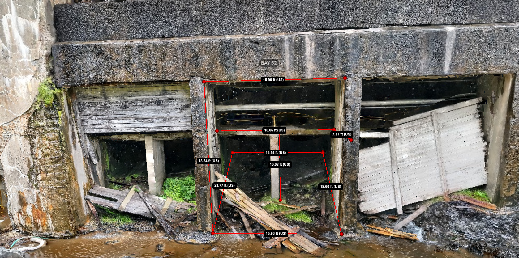
Talk through your assetBring overlapping imagery together into a 3D view of the site. Review geometry, communicate locations and add context to inspection observations.
PAI mapping and 3D visualization are not land surveys. Model measurements are estimates requiring field verification; they do not establish property boundaries or replace licensed surveying or engineering.
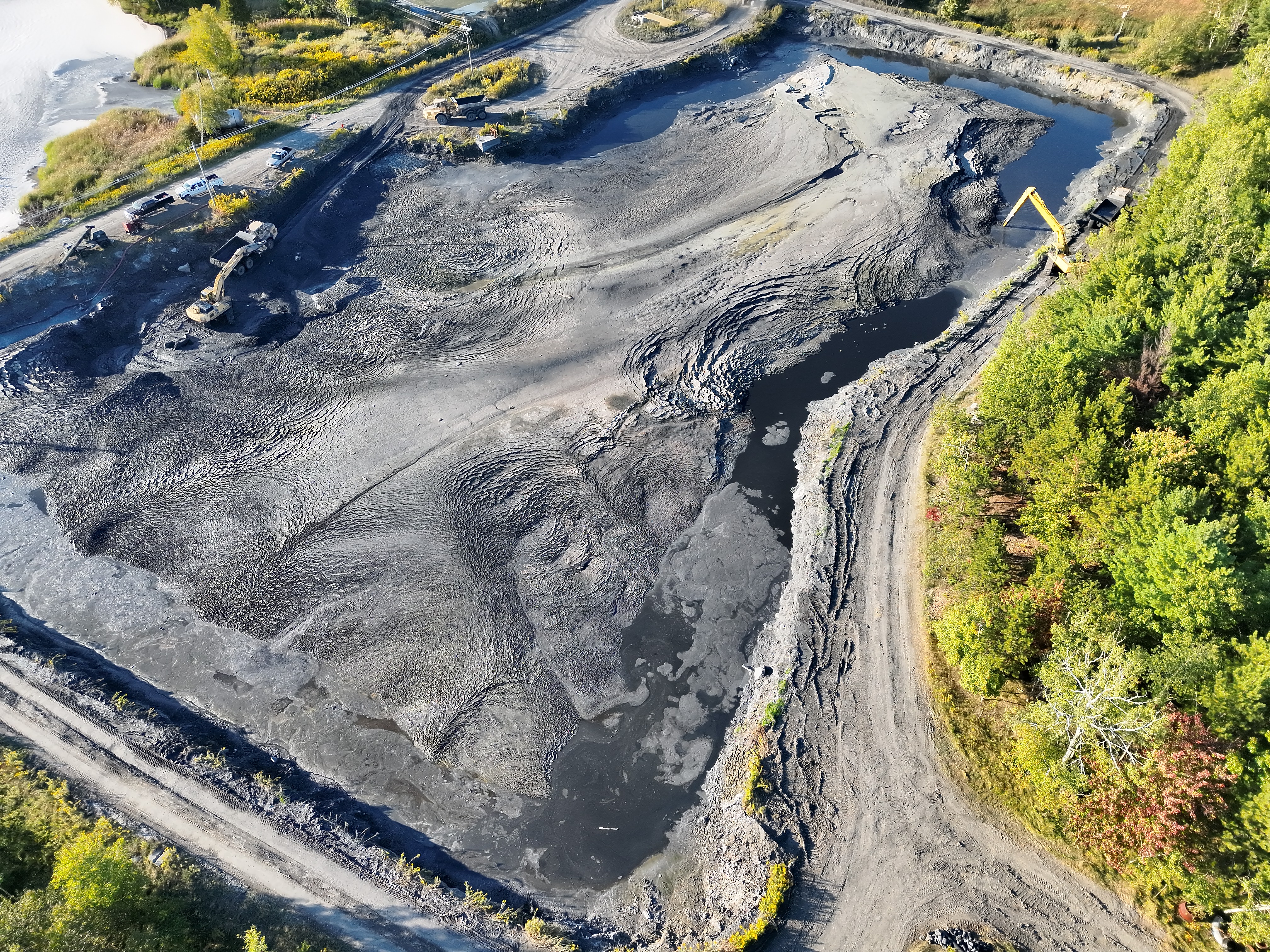
Repeatable aerial views document changing conditions, active work areas and large sites that are difficult to understand from the ground.
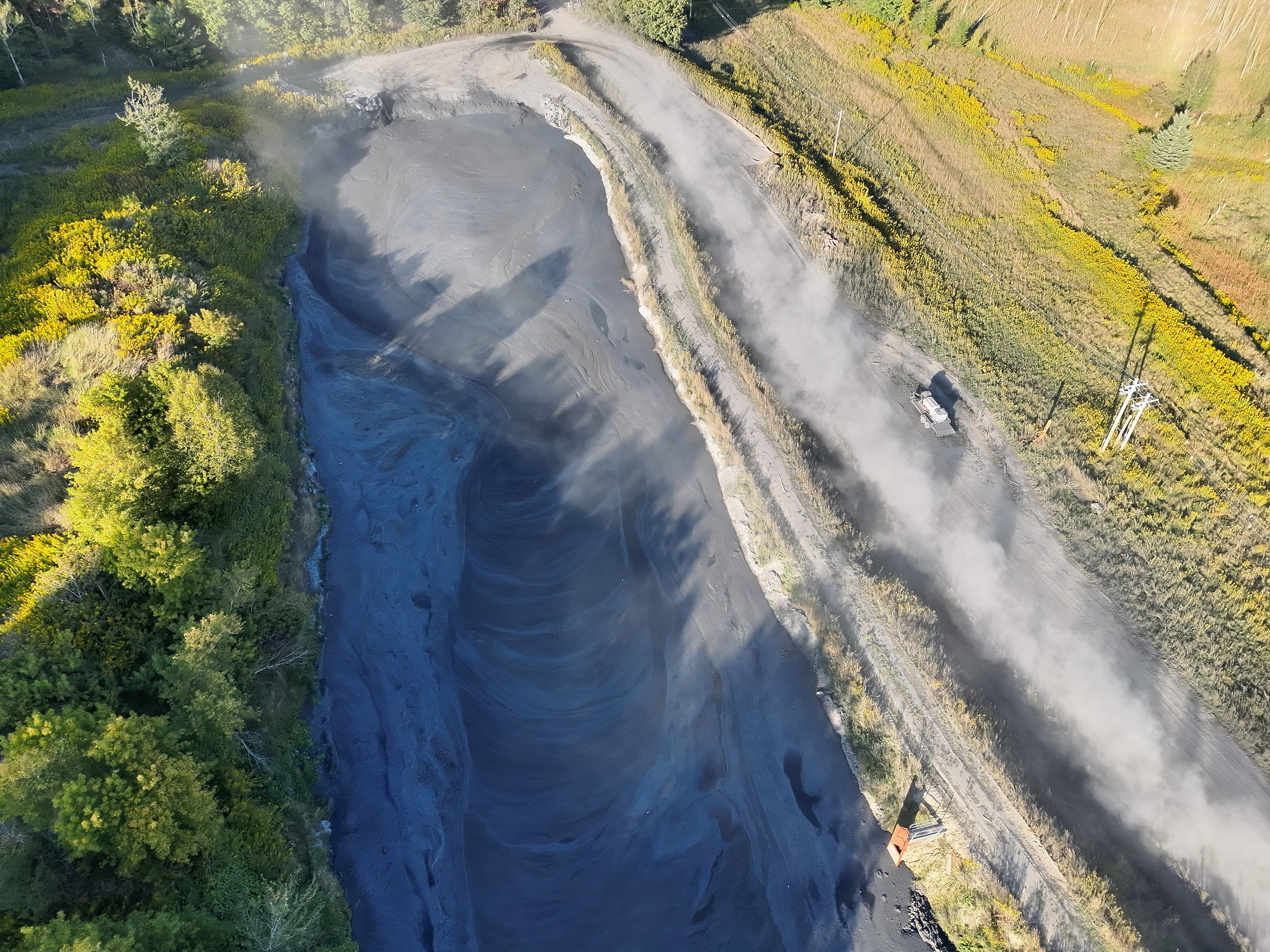
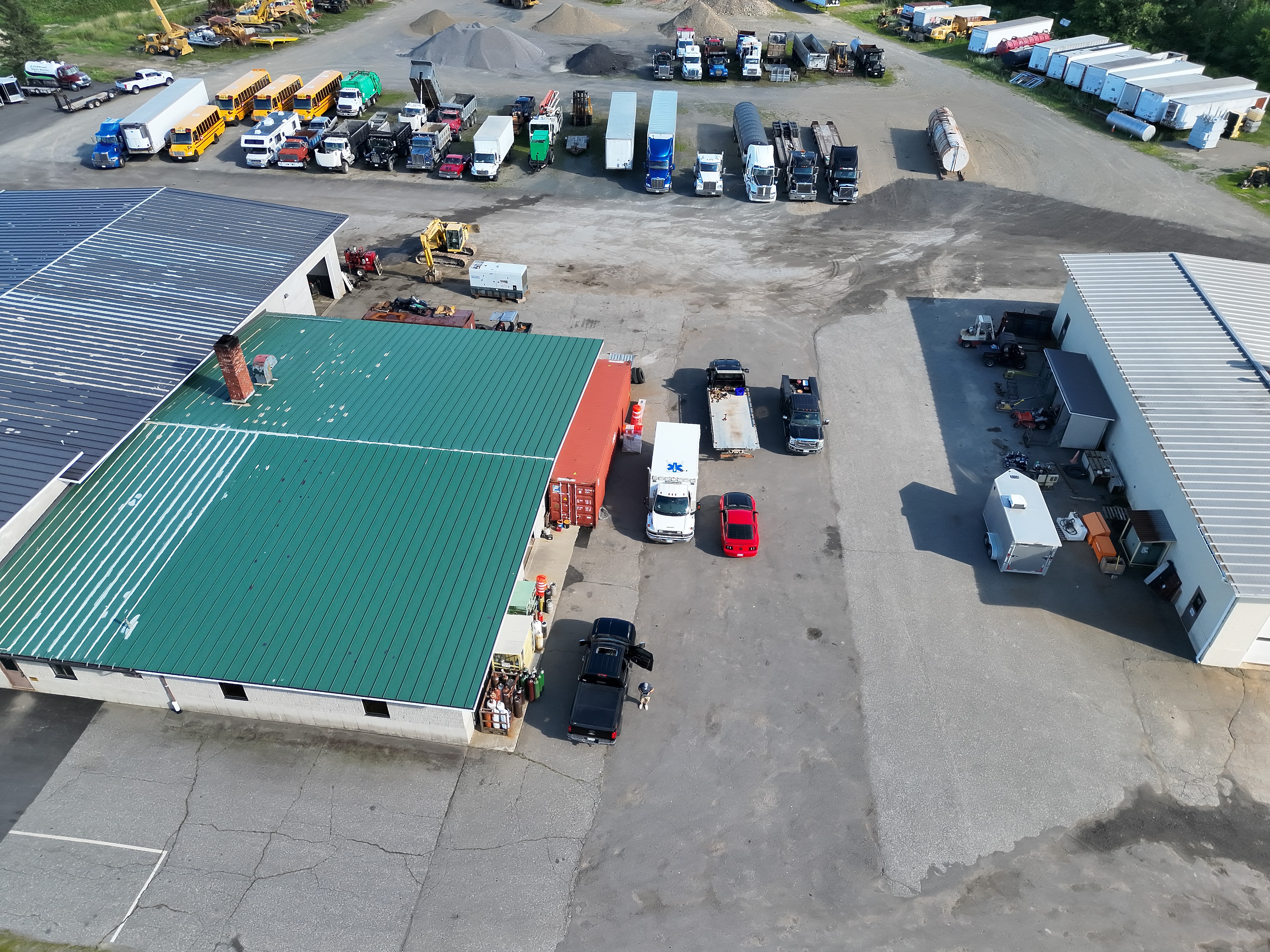
Thermal inspections of roofs, building envelopes and industrial equipment. Actual project imagery will be shown here when available; no stock or AI-generated inspection photographs.
The scope is clear before the flight. The deliverables are organized around your needs.
Discuss your property, asset, concerns and the information you need.
Review access, airspace, weather and site hazards. Agree on a practical scope.
Collect visual, thermal or mapping imagery using the workflow suited to the job.
Receive organized imagery, annotated observations or models, with limitations explained.
Owner · Precision Aerial Inspection
Work directly with the owner, from the first conversation through delivery. FAA Part 107 Certified and insured, with real industrial documentation and photogrammetry work shown here.
A practical field documentation tool for organizing job information, measurements, photos, mapping notes and equipment records in one place.
Open PAI Field BookPAI Field Book is an evolving field tool developed around real-world documentation workflows.
Tell David about the location, asset and question you need answered. We’ll discuss the right scope and next steps.
Email DavidResidential · Commercial · Industrial